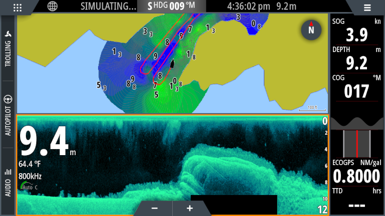
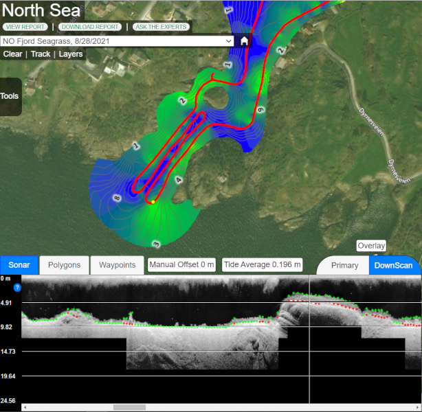
Create detailed GIS maps of kelp and seagrass growing on the seafloor with your sonar recordings
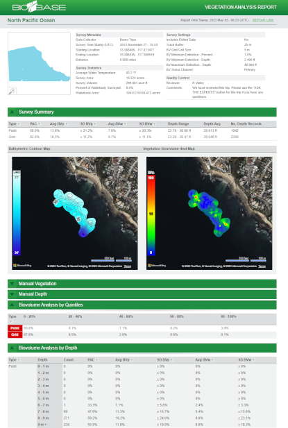
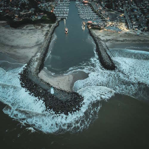
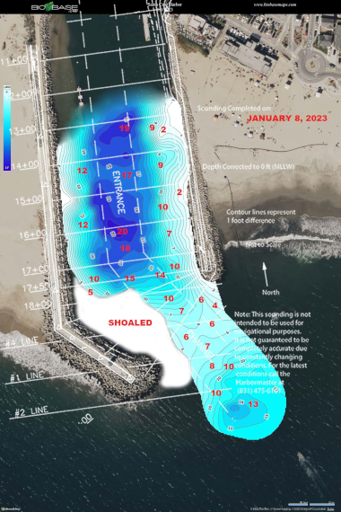
Shoaling of sediments can change almost daily in coastal harbors and marinas. Rapidly map boat lanes and hazards
The Santa Cruz Port District
maps with BioBase almost daily during the winter months to inform dredging operations and keep the channels open for recreational boat traffic

Latest Updates & Advancements